


 24/7 Emergency Service
Know Your Clouds
11/3/2021 (Permalink)
Do you know that there are over 100 different kinds of clouds? All of these can generally be put into ten basic types:
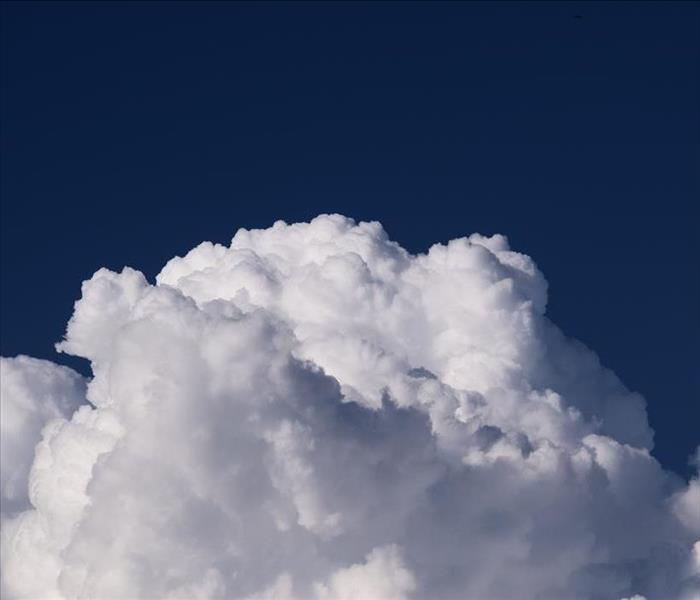
- Cumulus – These are the clouds you learned how to draw as a kid with flat bottoms and big puffy tops, typically seen on sunny days and often nicknamed the “fair weather cloud”
- Stratus – Stratus clouds form a greyish uniform layer, low in the sky, and kind of look like fog but in the sky instead of on the ground. These clouds are mostly seen on overcast days and can bring mists or drizzles.
- Stratocumulus – Think of a stratus cloud but split it with a knife so that the blue sky shows through. These clouds are seen on “mostly cloudy” days
- Altocumulus – These are the most common clouds in the middle of the atmosphere. They form big, round masses in bands across the sky and can be white or grey. Typically, you can see these clouds on warm, humid mornings and they can signal future thunderstorms or the onset of cooler weather
- Nimbostratus – This is the cloud that brings the rain. You’ll see these clouds form a dark grey layer over the sky whenever there’s a steady rain or snow
- Altostratus – Grey sheets of clouds covering the whole sky where you can typically still see the sun shining through. These clouds can signal a coming warm front or when paired with cumulus clouds, a cold front.
- Cirrus – These clouds are the wispy white clouds that look almost like curls of hair (hence the name which is Latin for “curl of hair’). Typically, they’re seen during fair weather but can also form ahead of large-scale storms. Sometimes these clouds are also referred to as “mare’s tails”
- Cirrocumulus – Patches of clouds arranged in rows, high up in the sky. There is not much moisture high up in the sky so these clouds are made of ice crystals! These clouds are nicknamed “mackerel scales” because of the look they give the sky why they appear.
- Cirrostratus- These are the translucent clouds that appear across the sky when there is a lot of moisture present in the air high in the atmosphere. They can be identified by the halo effect they have around the sun or moon that’s formed by the light refraction in the ice crystals of the cloud
- Cumulonimbus – These clouds look similar to the cumulus clouds they are formed from but are much taller with often flattened tops and dark bottoms. These are thunderstorm clouds, and signal nearby severe weather.
Clouds can play a big part in being able to predict what kind of weather is headed your way! For example, there’s an old sailors’ phrase “Mares’ tails and mackerel scales make ships take in their sails.” This means that if you see Cirrocumulus and Cirrus clouds that could mean a warm front is approaching which brings in precipitation, so sailors used to use this as an indicator to prepare the ships for rough seas.
Next time you go outside take a look up at the sky and see if you can figure out what kinds of clouds are up there and if you see “mares’ tails” and “mackerel scales”, just know we saw them too! And we’re ready by the phones should your home or business suffer from any water damage because of the storms. So give us a call and trust is to make it “Like it never even happened.”